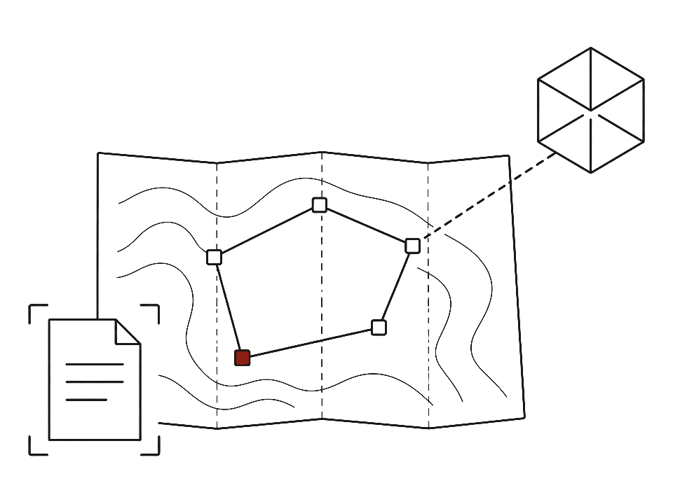
An ecosystem for working with construction assets, where the map is the main interface rather than an illustration.
Interactive maps with parcel drawing, cadastral service integration, computer vision for documents and 3D models tied to map objects. I was the system architect and led a team of seven.
The full write-up is still being written — this is the short version for now. Happy to walk you through the details.